What to do in Forest of Bowland
1 activity available
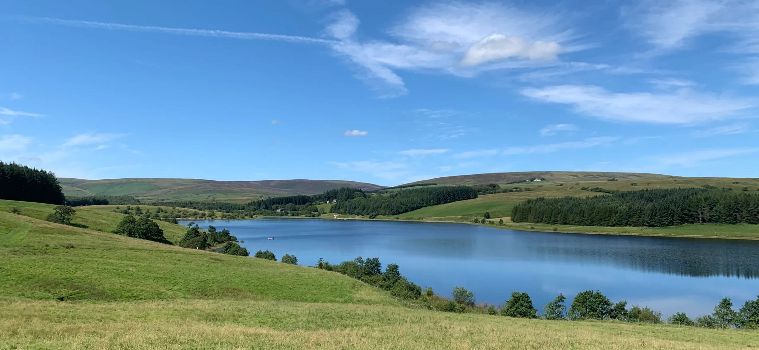
Forest of Bowland: What to do when you get there?
The Forest of Bowland, also known as the Bowland Fells and formerly the Chase of Bowland, is an area of gritstone fells, deep valleys and peat moorland, mostly in north-east Lancashire, England, with a small part in North Yorkshire. (Before 1974, some of the area was in the West Riding of Yorkshire.) It is a western outlier of the Pennines.
The Forest of Bowland was designated an Area of Outstanding Natural Beauty (AONB) in 1964. The AONB also includes a detached part known as the Forest of Pendle separated from the main part by the Ribble Valley, and anciently a royal forest with its own separate history. One of the best-known features of the area is Pendle Hill, which lies in Pendle Forest. There are more than 500 listed buildings and 18 scheduled monuments within the AONB.
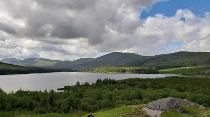
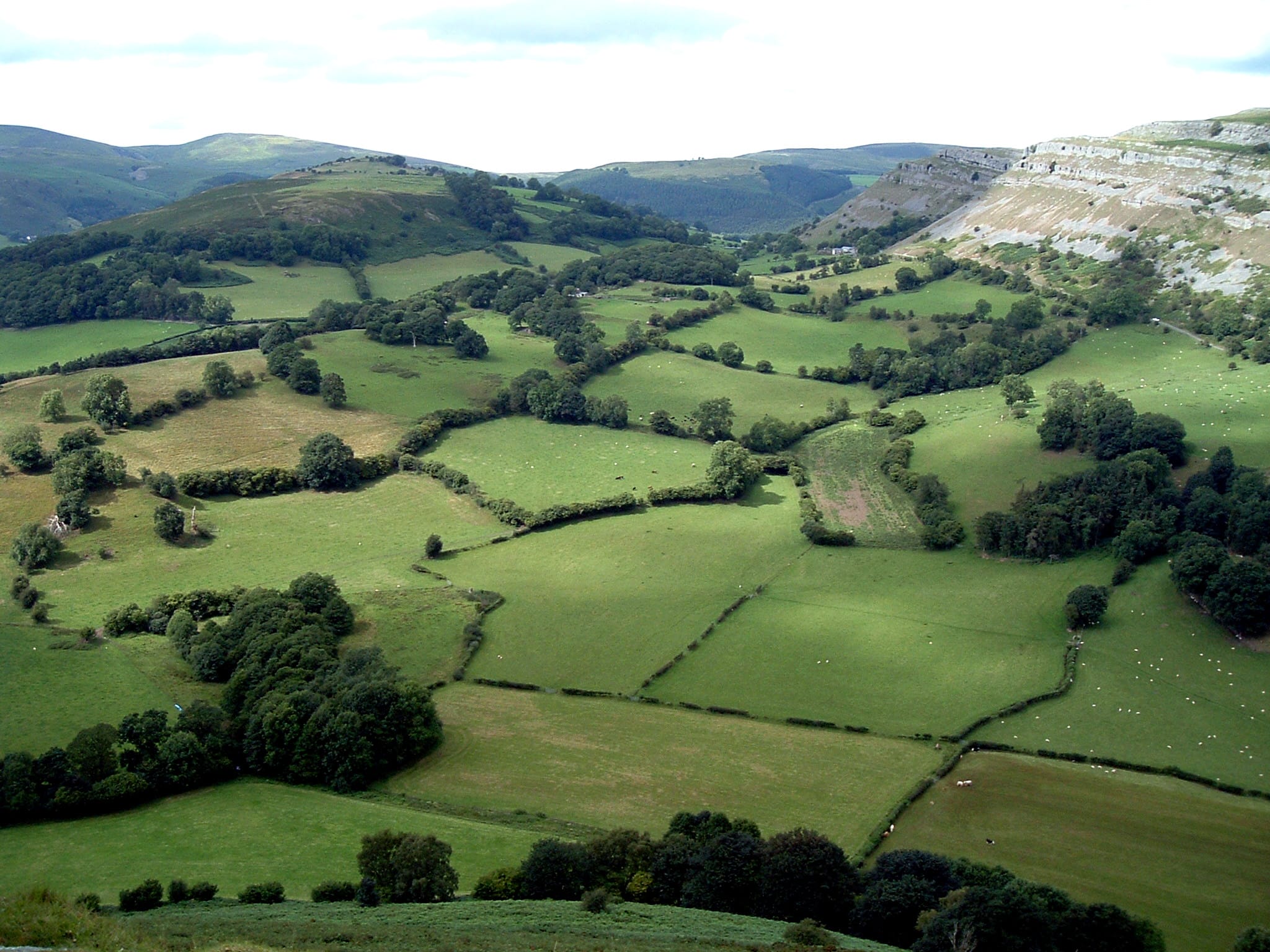
Bowland is dominated by a central upland landform (generally above 1,200 feet (370m) and rising to 1,700 feet (520 m)) of deeply incised gritstone fells covered with tracts of heather-covered peat moorland and blanket bog. The lower slopes of the fells are dotted with stone-built farms and small villages and are crisscrossed by drystone walls enclosing reclaimed moorland pasture. Steep-sided wooded valleys link the upland and lowland landscapes. In the northeast of the area are extensive coniferous plantations and the eastern limestone areas support high-quality species-rich meadows. Caves in the area include Hell Hole, Whitewell Cave and Whitewell Pot. It is surrounded by the Yorkshire Dales and South Pennines, from which the fells are separated by the Aire Gap and Ribble Valley.
The southern part of the Forest of Bowland is divided by the valley of the River Hodder. West of the river lies a tract of lowland dotted by limestone hills, such as the New Laund and Long Knott. East of the Hodder is a low-lying area known as the Lees. Nearby, higher up, are Browsholme Moor and Burholme Moor.
Forest of Bowland: All our activities


